Reliable Utility Locating & GPR Scanning Services Throughout Virginia
Professional Private Utility Locating, Utility Marking, GPR & Concrete Scanning, Underground Utility Mapping, and GPS/GIS Mapping Services Across Virginia

ABOUT US
Reliable
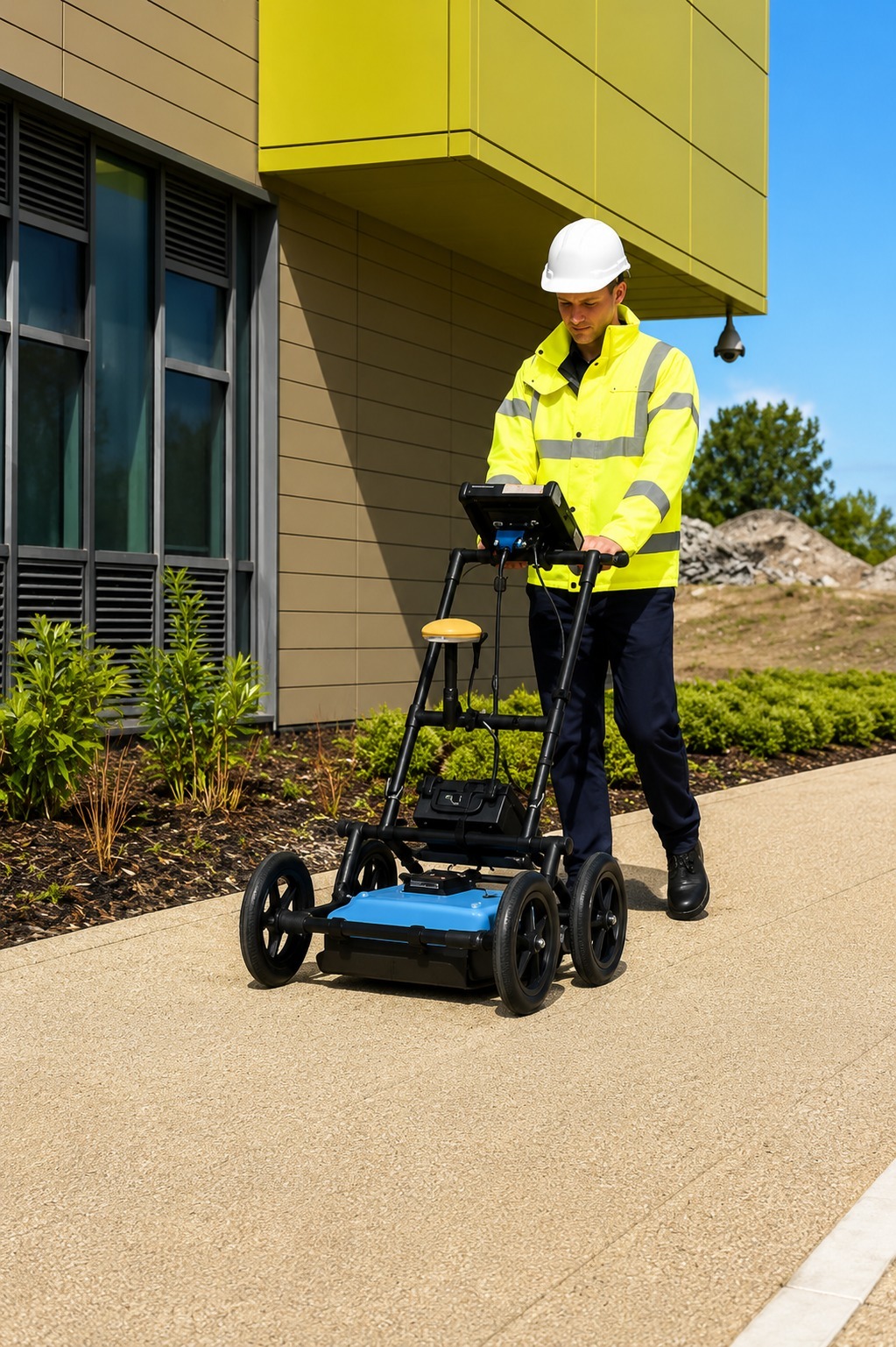
We provide professional utility locating and mapping services designed to help contractors, property owners, engineers, and project teams identify underground utilities before construction or excavation begins. Our team focuses on accurate fieldwork, clear markings, and dependable information to help projects move forward with greater confidence and fewer unexpected issues.
Our services include private utility locating, utility marking, GPR scanning, concrete scanning, underground utility mapping, and GPS/GIS utility mapping. We use proven locating methods and modern technology to identify and document underground infrastructure as accurately as possible. Every project is approached with attention to detail and a focus on delivering useful information for planning and site development.
We understand that accurate utility information can make a major difference in project safety, scheduling, and cost control. That is why we work to provide responsive service, detailed results, and professional support from the initial request through project completion. Whether you are planning excavation, construction, renovation, or infrastructure work, our team is ready to help you better understand what is beneath the surface.
Our Services
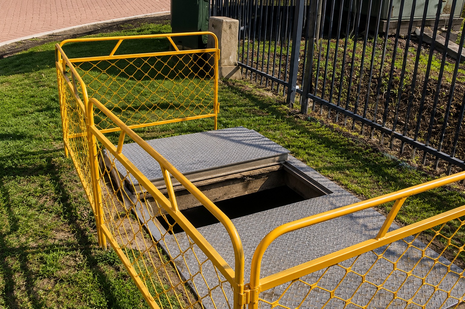
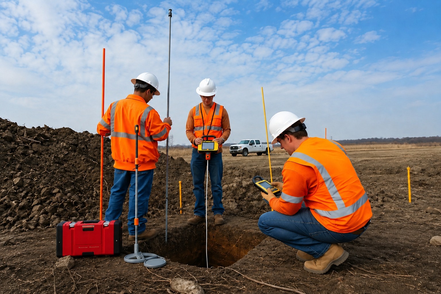
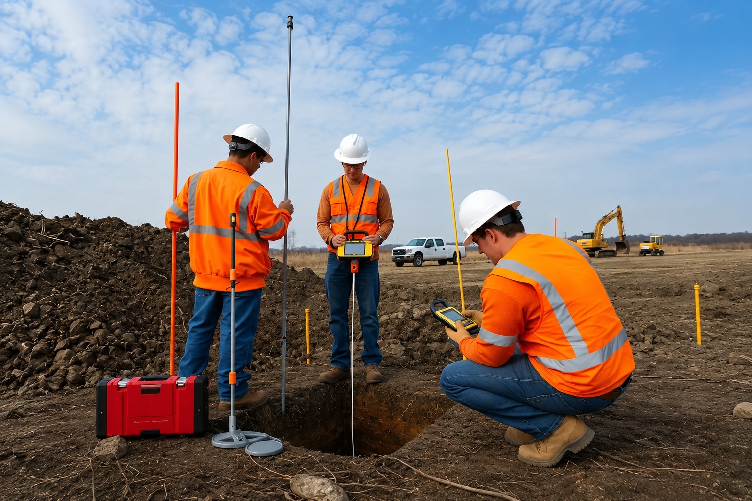
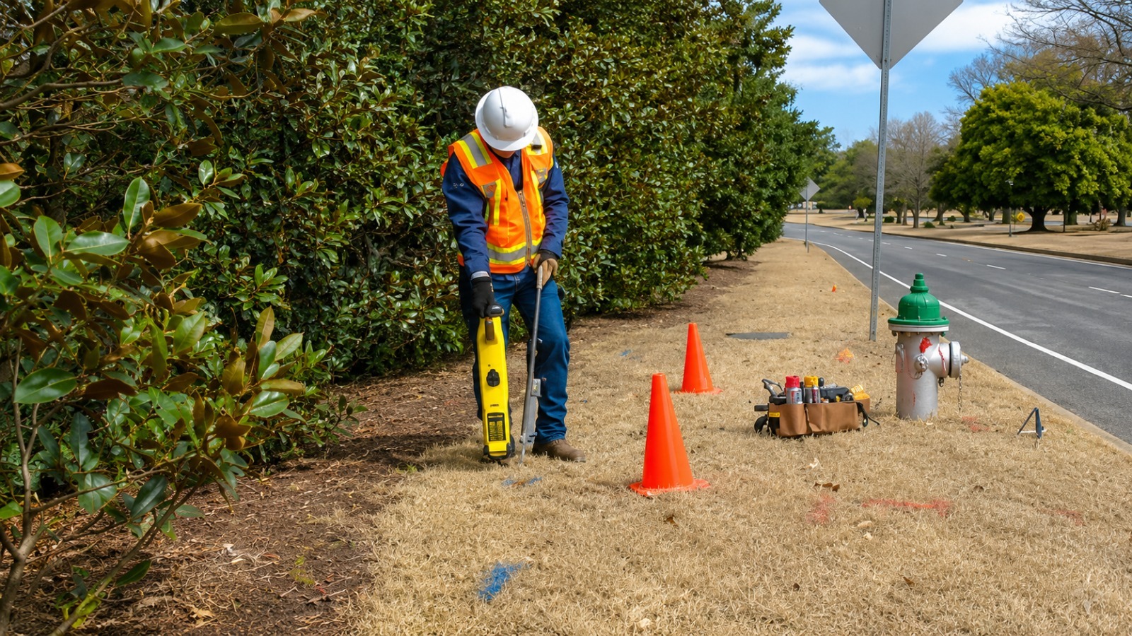
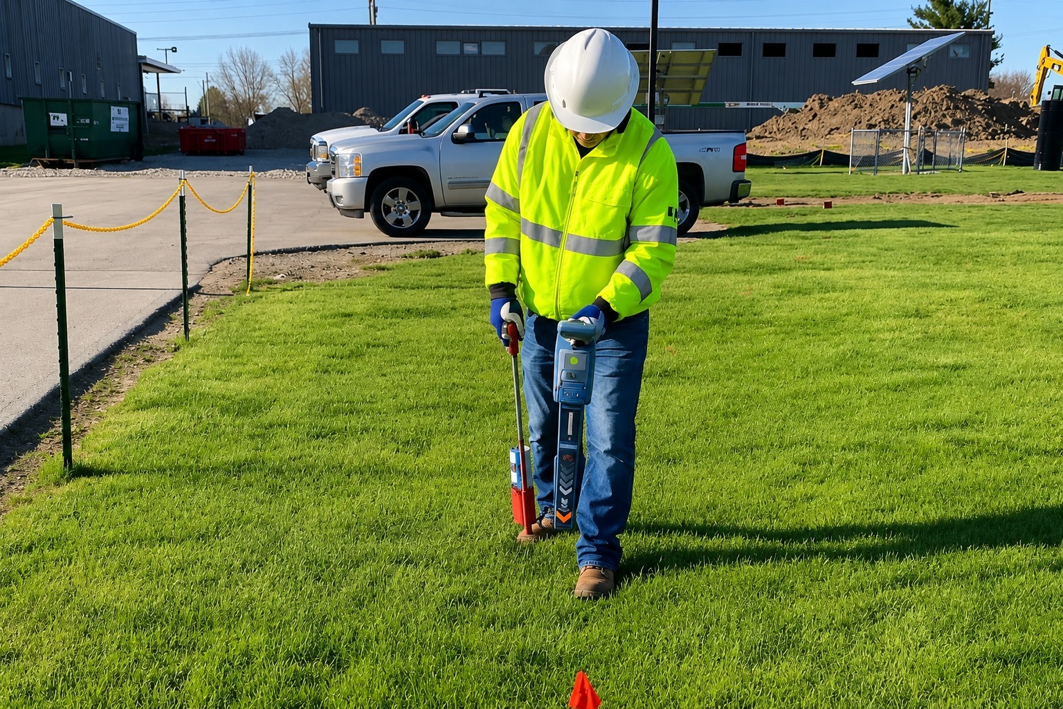
Accurate private utility locating to identify underground lines and infrastructure, helping reduce utility strikes, delays, and excavation risks.
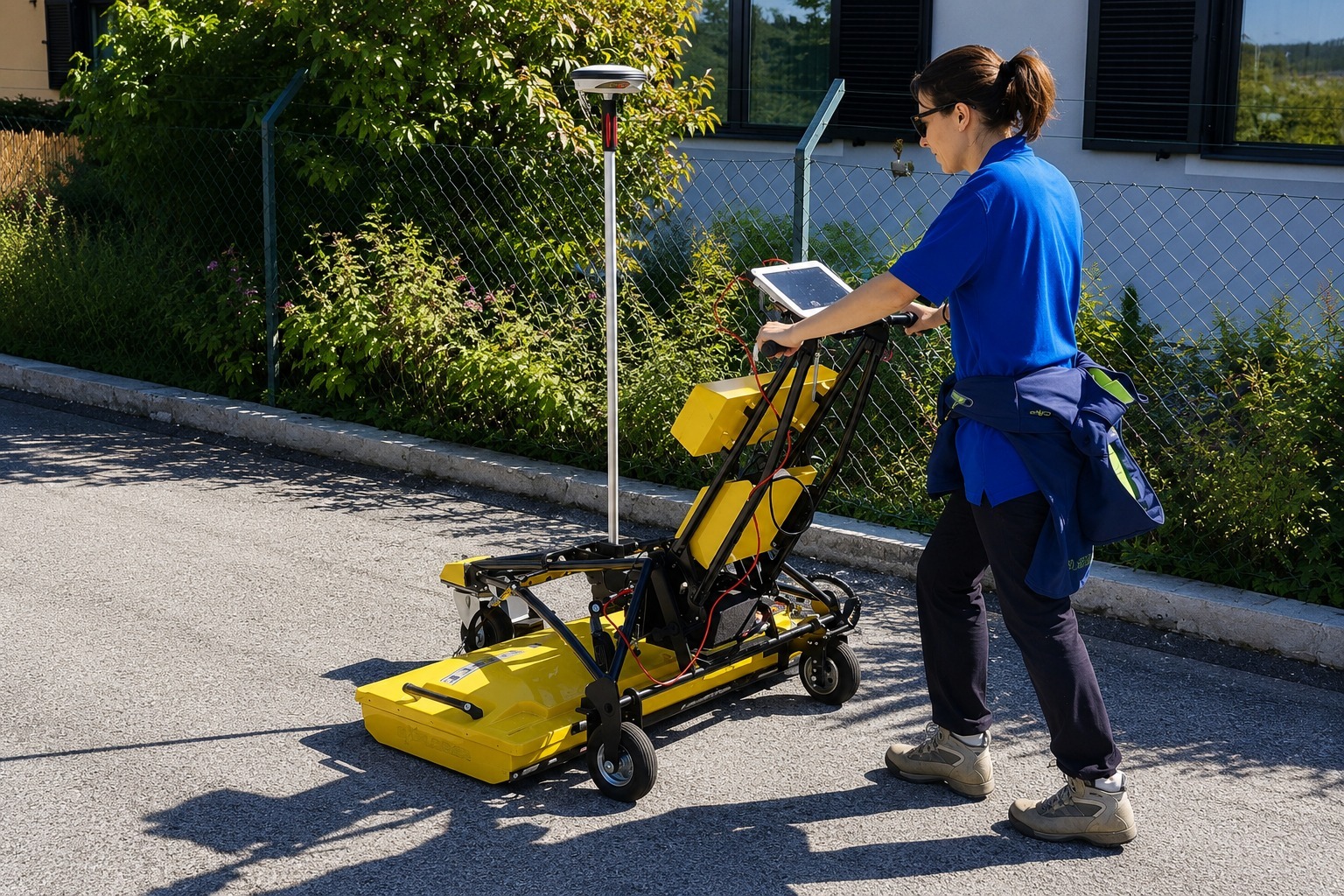
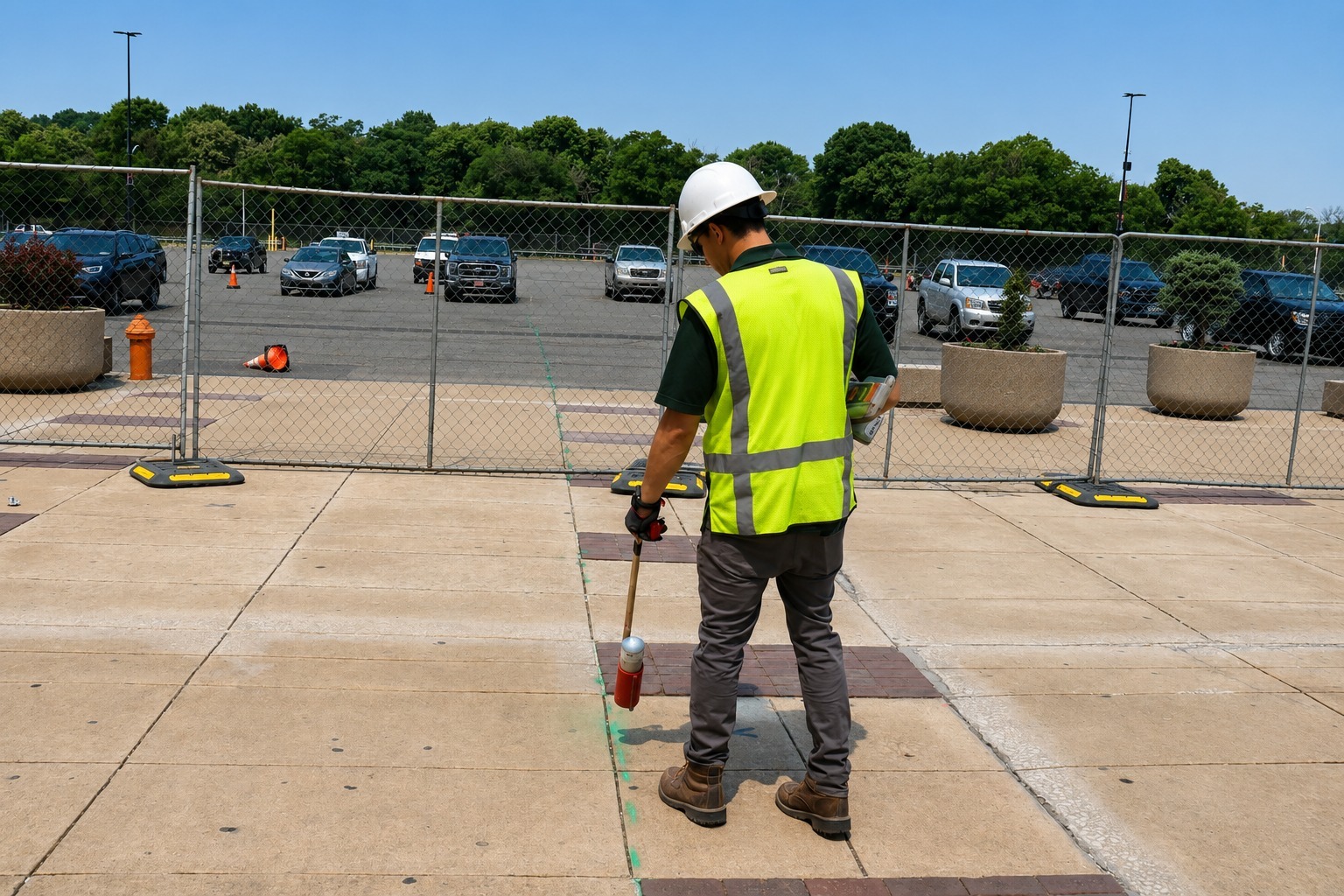
Clearly mark underground utility lines on-site to help crews understand utility locations and reduce the risk of damage during excavation and construction.
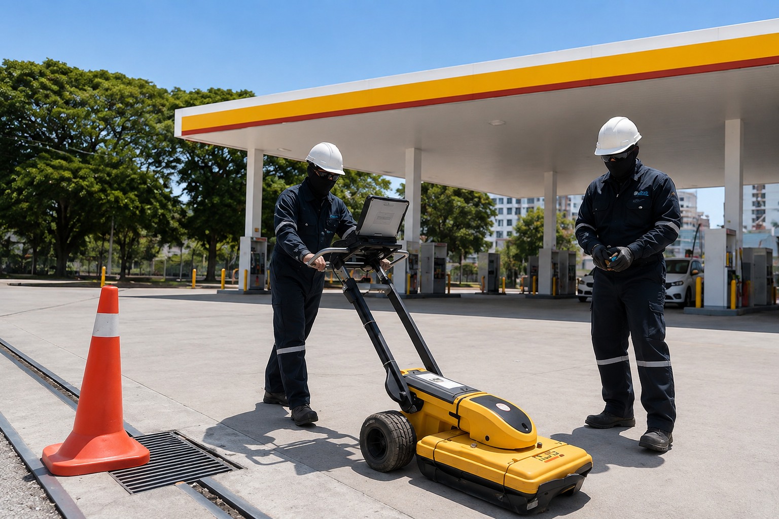
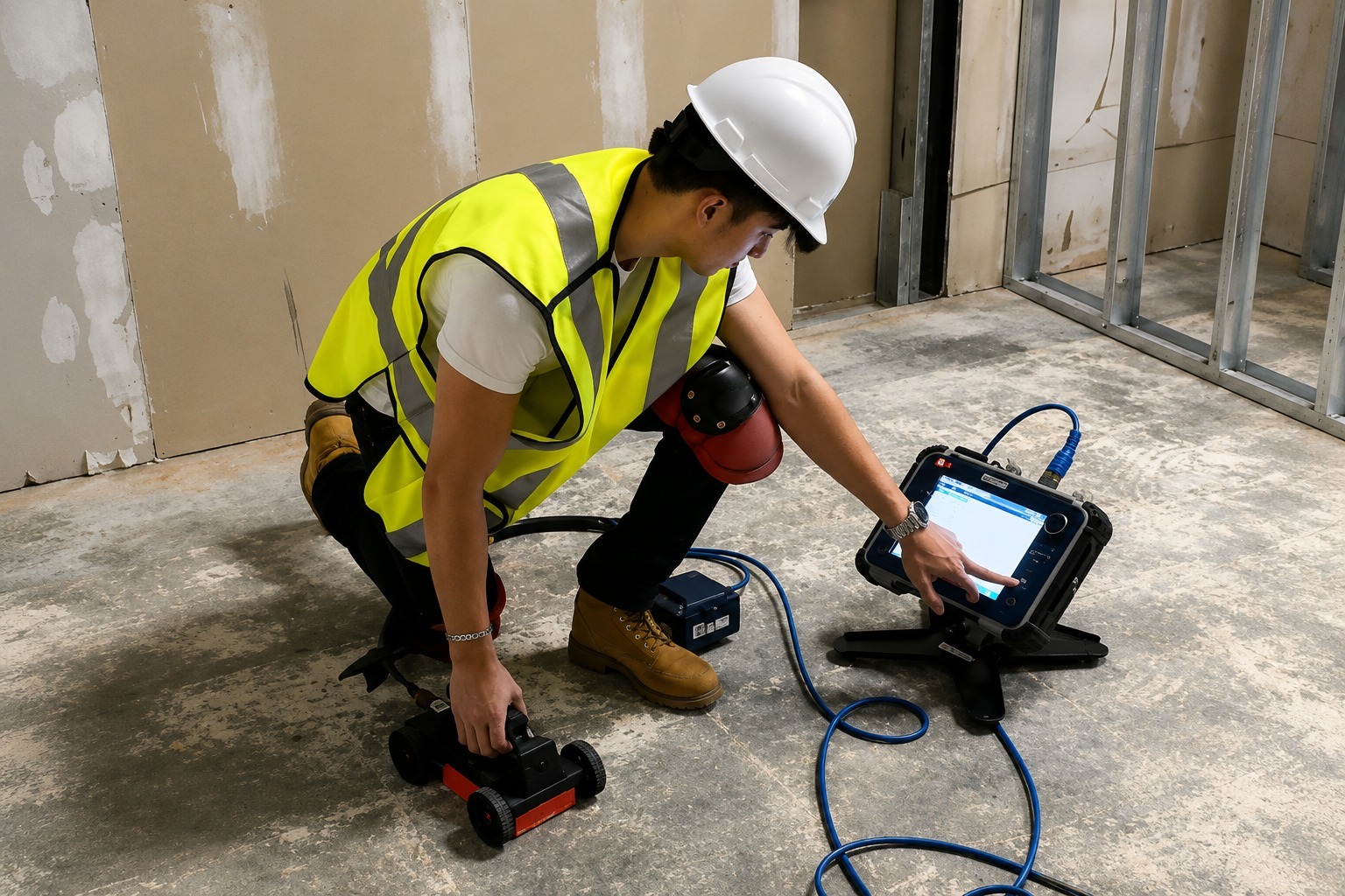
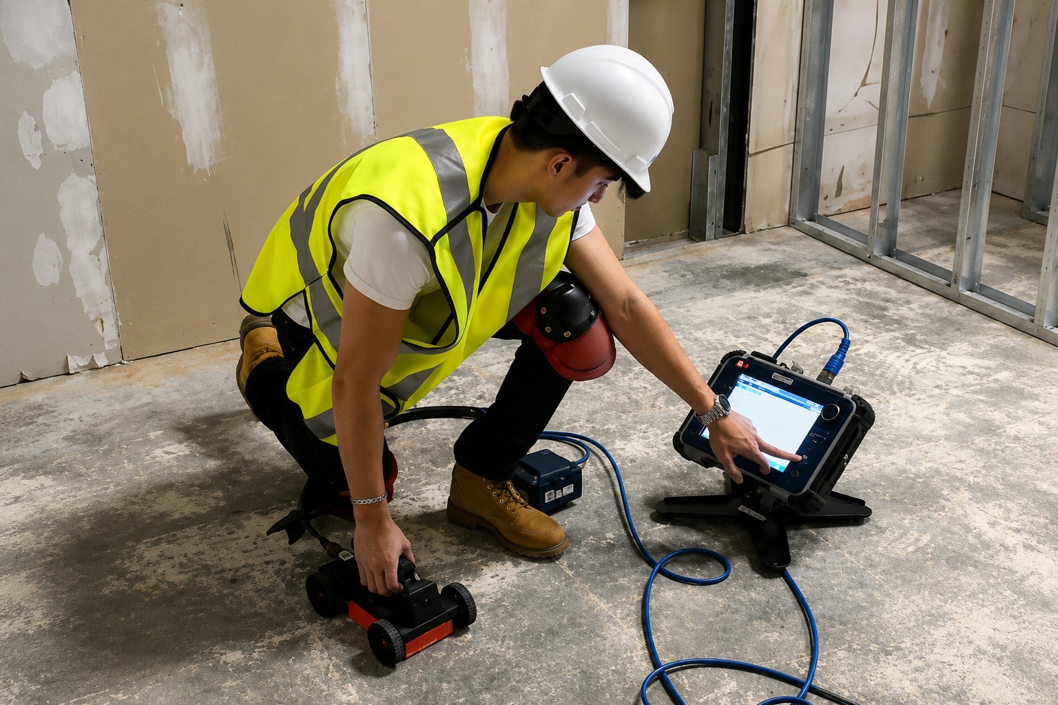
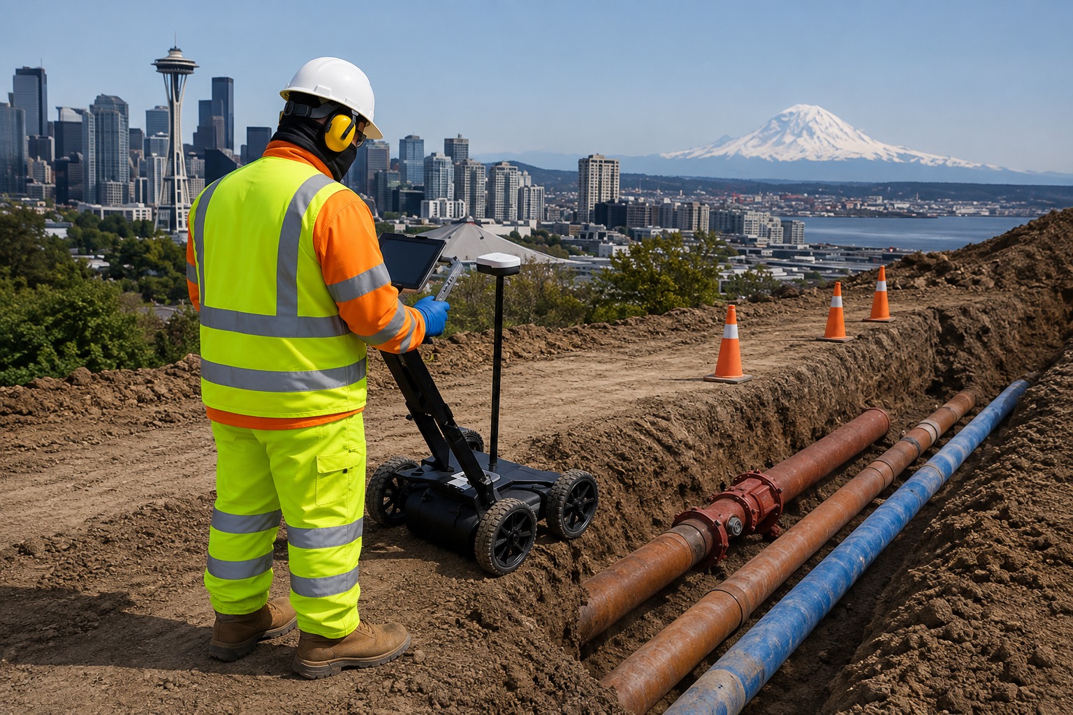
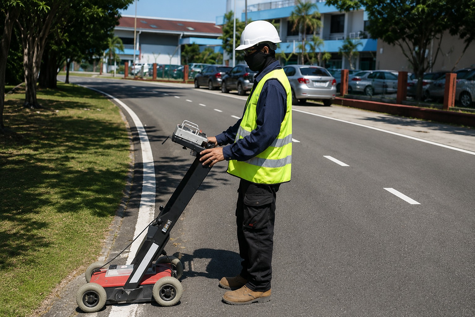
Use advanced GPR scanning technology to detect subsurface utilities and structures, providing valuable underground information without unnecessary excavation.
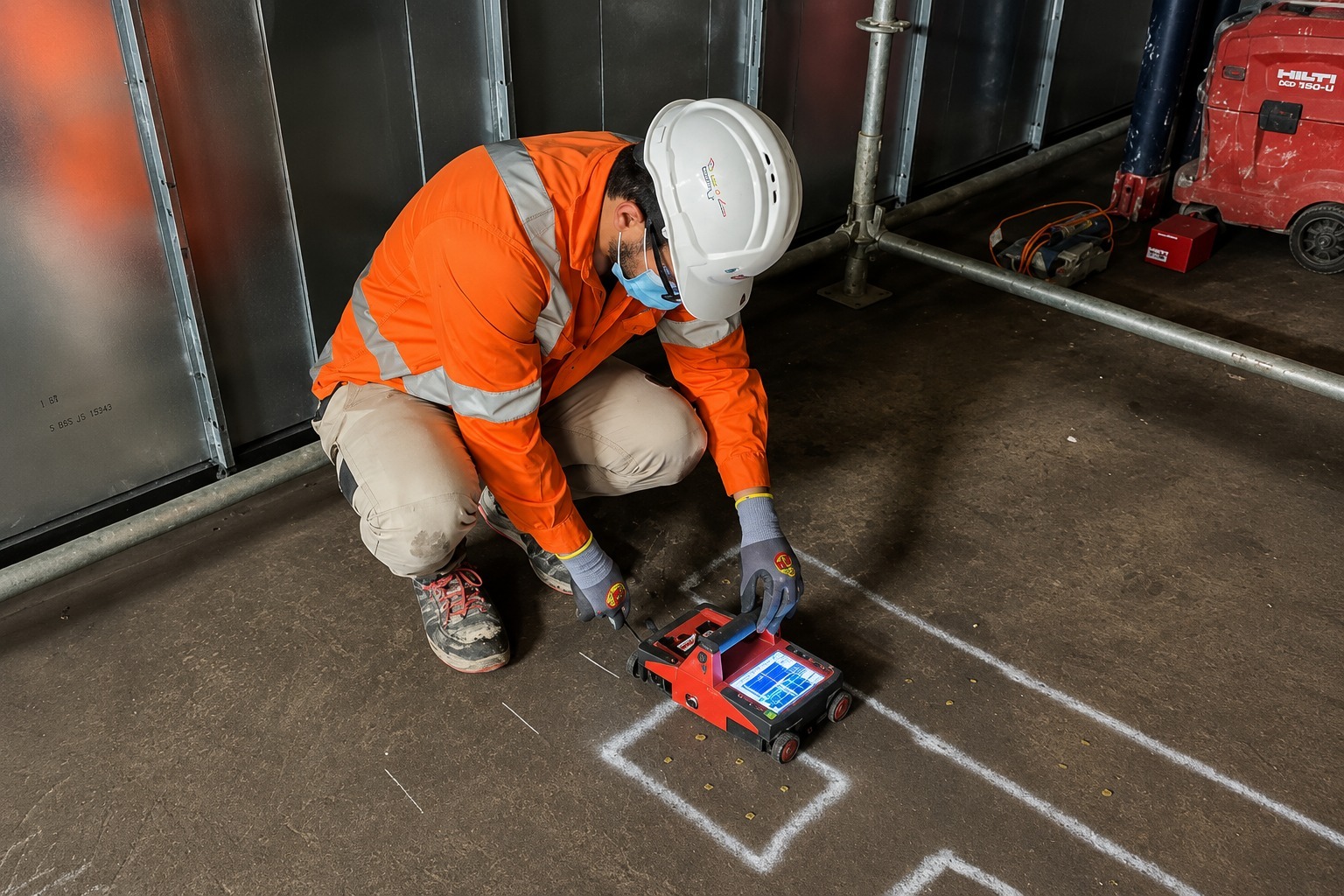
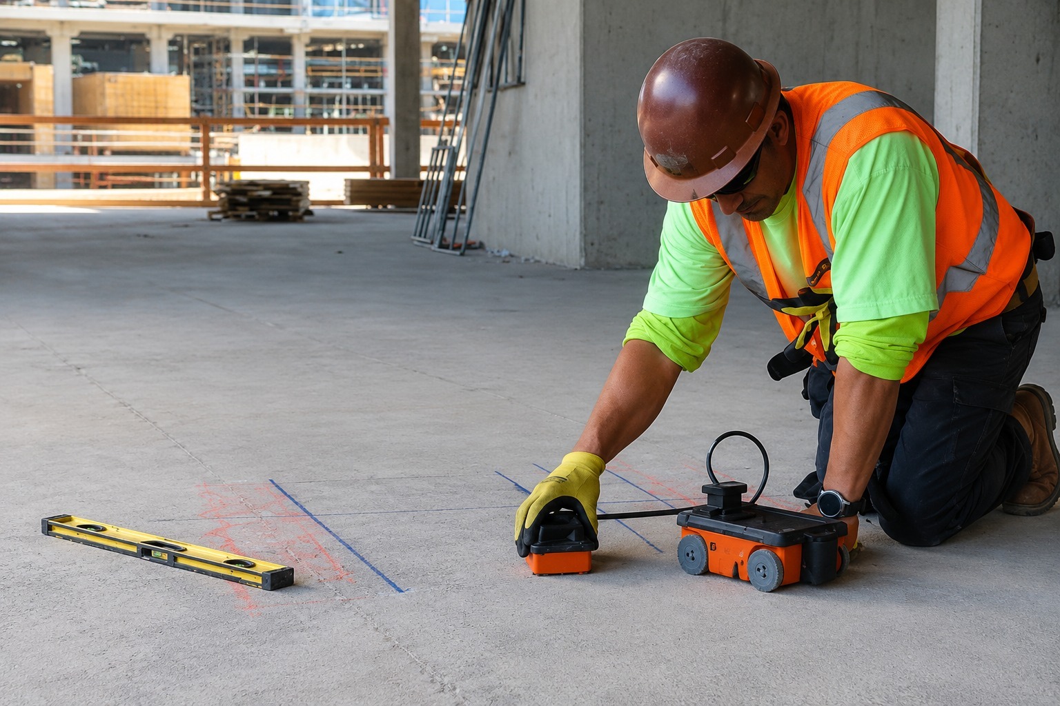
Identify embedded utilities, rebar, conduits, and other structures within concrete using advanced scanning methods before drilling, cutting, or coring work.
Create detailed maps of underground utility networks to help contractors, engineers, and property owners plan excavation and construction with greater confidence.
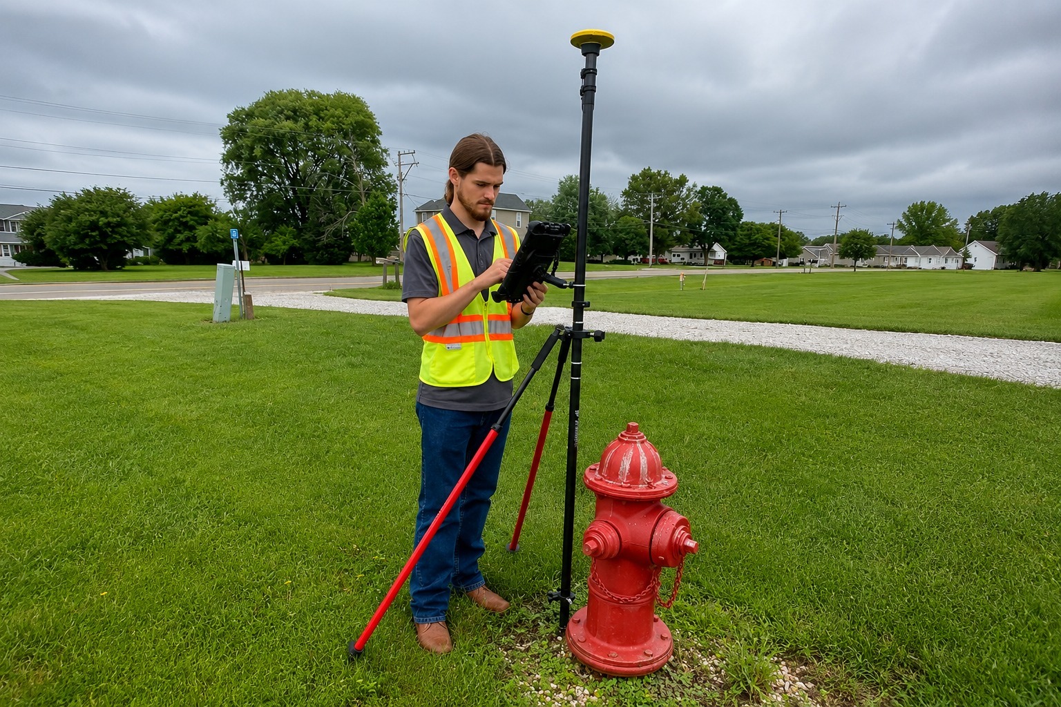
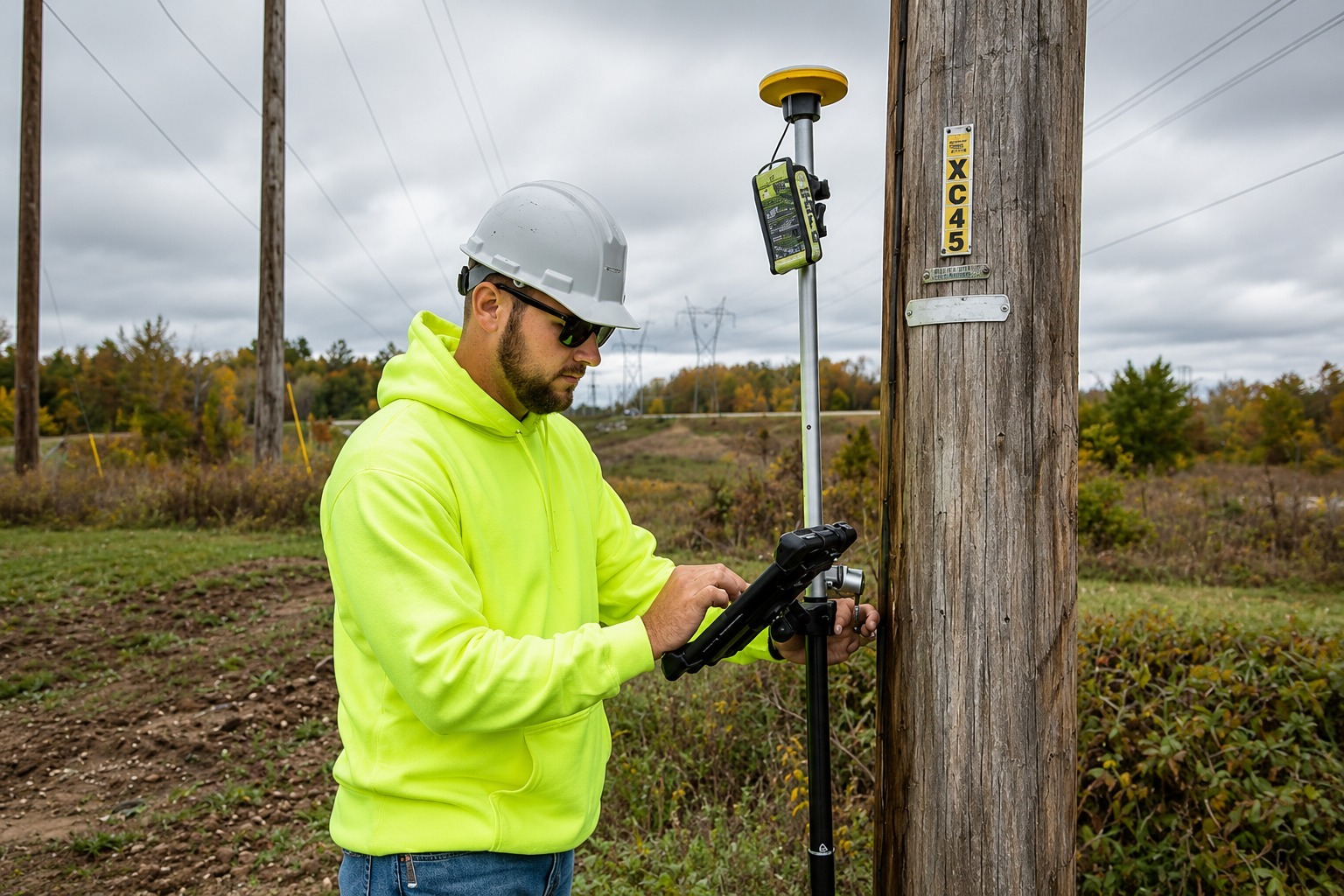
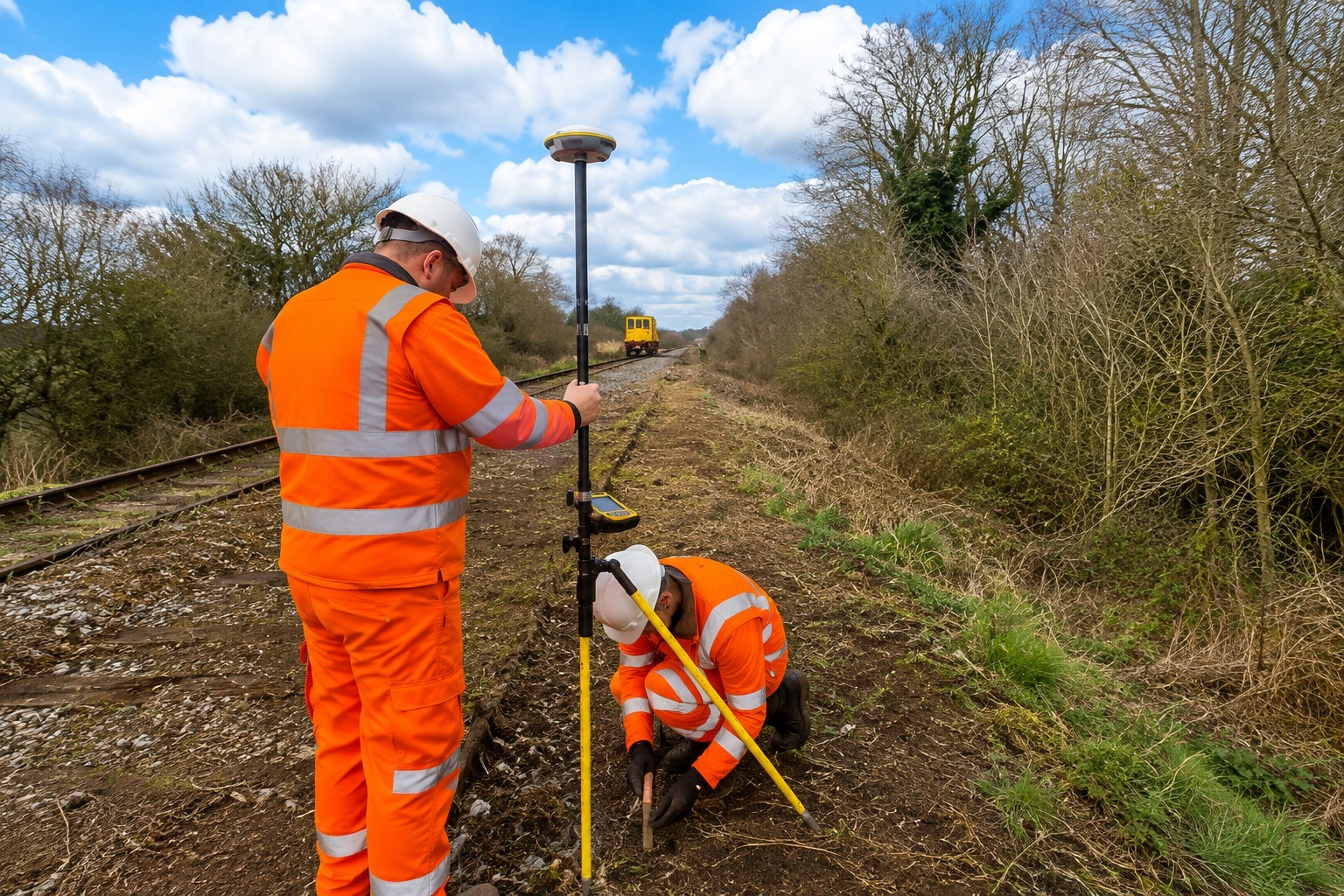
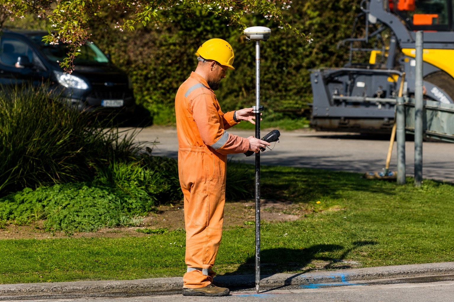
Capture and organize utility locations using GPS and GIS mapping technology, creating accurate digital data for planning, documentation, and future project needs.
The Process
Our Simple 3 Step Process

Contact Us
Start by completing the 'Get a Free Quote' form on our website to share your needs with us so we can take care of you.

Schedule Your Estimate
Next, we'll arrange a property visit at a time that works for you to provide an in-person estimate for your needs.

Get The Job Done
After you approve our estimate, we'll schedule a date to complete the job. Our team will work hard to exceed your expectations!
photo gallery
See Why Our Customers Love Us
Our Service Area?
Virginia Beach
Norfolk
Chesapeake
Richmond
Newport News
Alexandria
Hampton
Roanoke
Portsmouth
Suffolk
Lynchburg
Fairfax
Harrisonburg
Charlottesville
Danville
Manassas
Fredericksburg
Winchester
Petersburg
Staunton
Waynesboro
Bristol
Hopewell
Salem
Williamsburg
Radford
Falls Church
Martinsville
Colonial Heights
Buena Vista
Covington
Galax
Norton
Emporia
Lexington
Bedford
Front Royal
Blacksburg
Leesburg
Reston
Ashburn
Herndon
McLean
Centreville
Chantilly
Sterling
Dale City
Woodbridge
Manassas Park
Burke
Springfield
Annandale
Vienna
Merrifield
Dumfries
Warrenton
Culpeper
Farmville
Smithfield
Tappahannock
Our Reviews
What Our Customers Have to Say About Us!
Very professional and reliable service. The team arrived on time, located the underground utilities accurately, and explained everything clearly. The mapping information was extremely helpful for our project.

We had a great experience with their utility locating service. They were thorough, responsive, and very knowledgeable. Everything was marked clearly, which helped our crew work safely and avoid delays.
Excellent service from start to finish. The team was easy to work with and provided accurate utility locating and mapping results. I would definitely recommend them to anyone needing professional utility locating services.
FREQUENTLY ASKED QUESTIONS
What is utility locating?
Utility locating is the process of identifying and marking underground utility lines before excavation or construction. It helps project teams understand what is beneath the surface and plan work more safely and efficiently.
What types of utilities can you locate?
We can help identify underground utilities such as water lines, sewer lines, electrical lines, gas lines, communication cables, and other buried infrastructure, depending on site conditions and available locating technology.
What is GPR scanning used for?
Ground Penetrating Radar (GPR) uses radar technology to detect subsurface features without excavation. It can help locate buried utilities, voids, structures, and other underground anomalies in suitable ground conditions.
Do you provide utility marking and mapping?
Yes. We provide utility marking and underground utility mapping to help document the location and path of identified utilities. Mapping information can support construction planning, excavation, design, and site development.
Why should utilities be located before excavation?
Locating underground utilities before digging can help reduce the risk of utility strikes, project delays, property damage, and unexpected repair costs. Accurate utility information allows contractors and project teams to make better-informed decisions before excavation begins.
Request A Free Quote
BUSINESS
SERVICES
SERVICE AREAS
OPERATING HOURS
Sun: Closed
Mon: 7:00am - 7:00pm
Tue: 7:00am - 7:00pm
Wed: 7:00am - 7:00pm
Thu: 7:00am - 7:00pm
Fri: 7:00am - 7:00pm
Sat: 7:00am - 7:00pm